Bright - Dartmouth Map (Edition 2) by Rooftop Maps
Uncover the natural beauty and rich history of Victoria's high country with the Bright - Dartmouth Map (Edition 2). This double-sided waterproof map is an essential guide for adventurers exploring the scenic and historic highlights of the region.
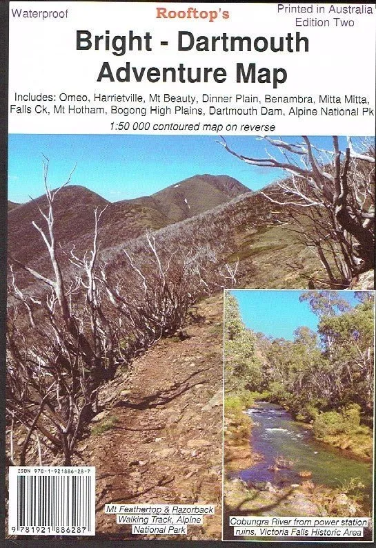
The map covers iconic locations such as Omeo, Victoria Falls, Falls Creek, Harrietville, Bright, Mt Beauty, Dinner Plain, Benambra, Mitta Mitta, Bogong High Plains, Dartmouth Dam, and the expansive Alpine National Park. Whether you're hiking, camping, or exploring by 4WD, this map offers detailed topographical information to guide your journey.
Additionally, the map features 37 captivating images of historic bush huts located around Bright, Omeo, and Dartmouth. These photos and details provide fascinating insights into the region’s cultural heritage, enriching your adventure with stories of the past.
Features
- Double-sided waterproof map for durability and ease of use
- Detailed topographical mapping of Victoria's high country
- Covers major locations: Omeo, Victoria Falls, Falls Creek, Bright, Mitta Mitta, Dartmouth Dam, and more
- Includes 37 images of historic bush huts with rich historical context
- Perfect for hiking, camping, and outdoor exploration
Specifications
- Edition: 2nd
- Regions Covered: Omeo, Victoria Falls, Falls Creek, Harrietville, Bright, Mt Beauty, Dinner Plain, Benambra, Mitta Mitta, Bogong High Plains, Dartmouth Dam
- Material: Waterproof paper
- Additional Features: Historical bush hut images and descriptions
Explore the breathtaking landscapes of the Alpine National Park with the trusted accuracy of Rooftop Maps. The Bright - Dartmouth Map (Edition 2) combines topographical detail with cultural insights, ensuring your adventure is both informed and unforgettable.


")


